ReVisit
Revisit the survey’s viewpoint. Photographic relocalization on a phone for the monitoring of built structures.
The idea in a few lines
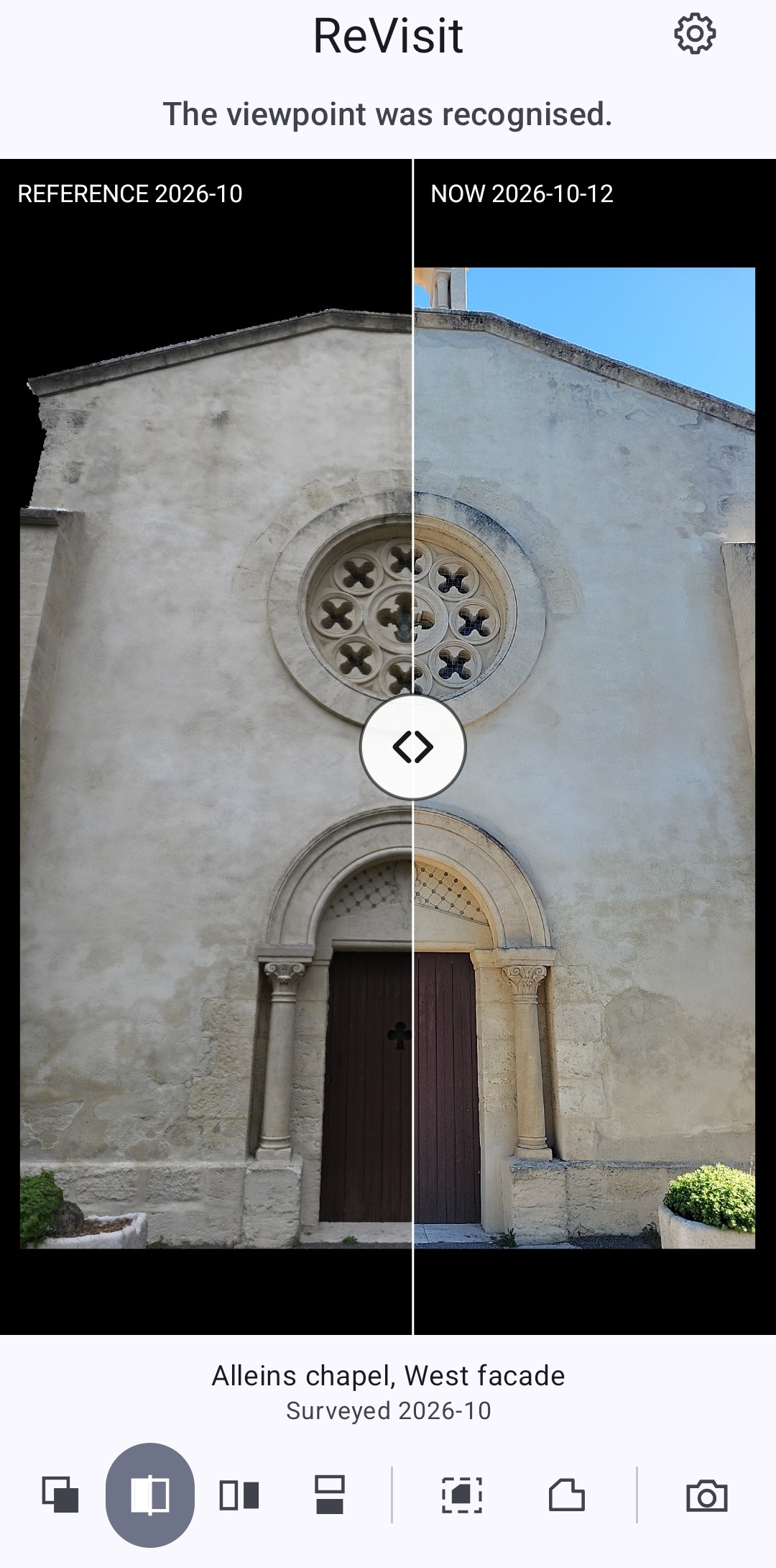
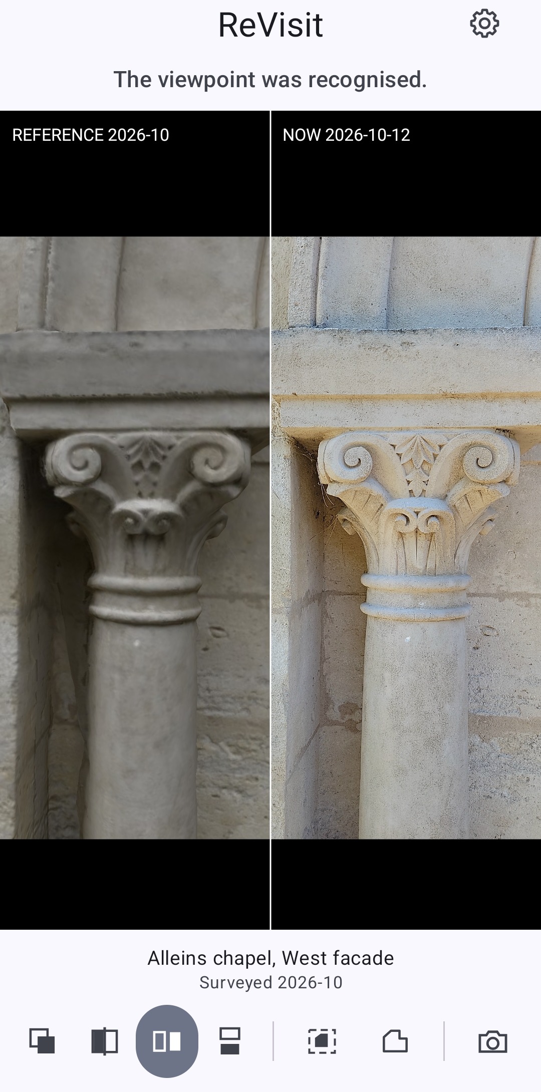
A site has been surveyed. Months or years later, a specialist comes back with a simple phone and aims at the structure. The system recognizes the viewpoint and presents the image of the structure as it was at the time of the survey, seen from that exact same viewpoint.
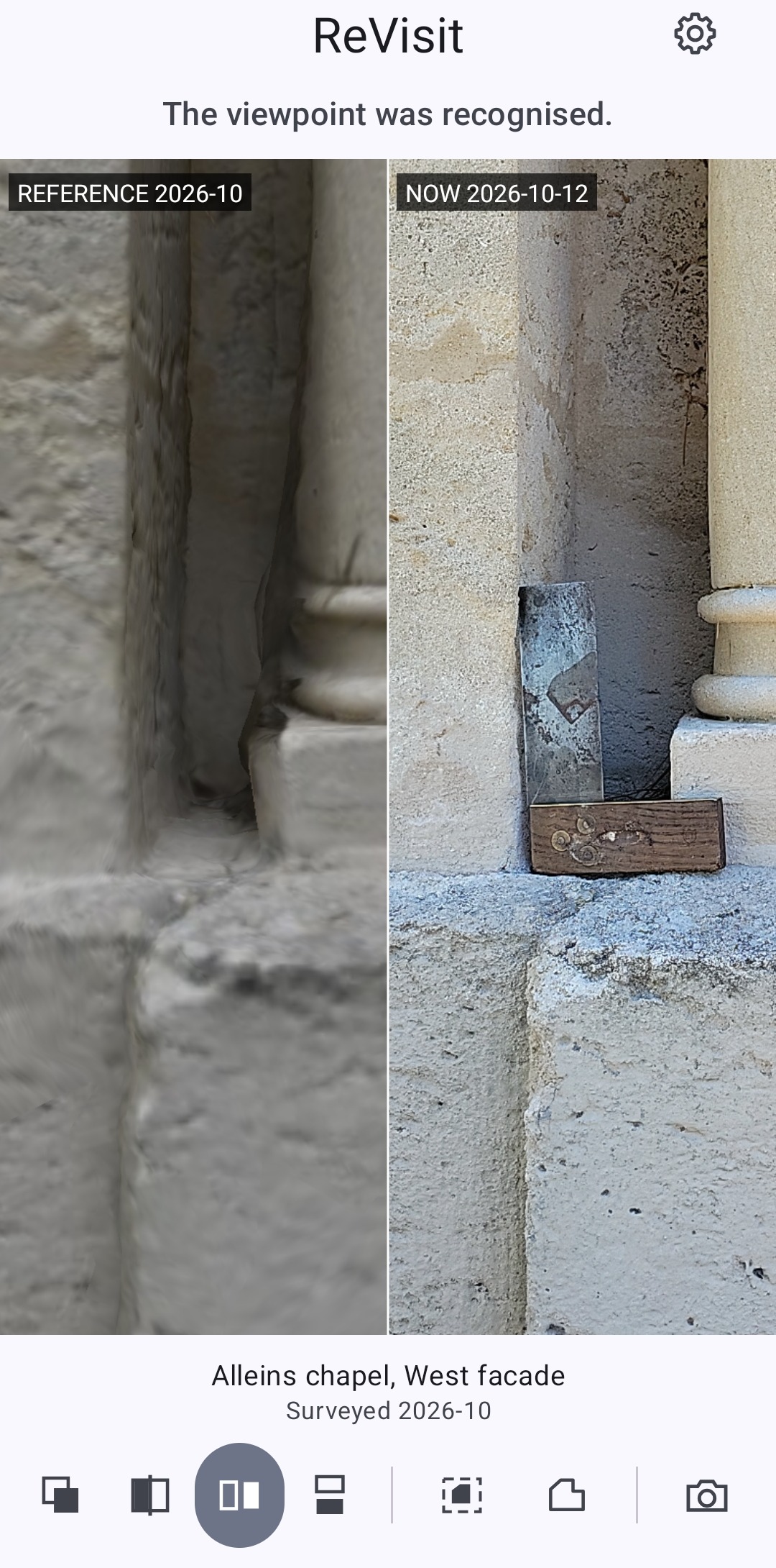
The specialist then holds two strictly comparable images: the state of reference and the present state, seen from the same angle. The comparison itself remains entirely theirs. A crack that opened, a lacuna that spread, a displaced stone, a restoration: the expert eye judges, on documents that can at last be superposed.
The name says the gesture: to come back and see. Revisiter, rivisitare, revisit, one word in our three languages.

How it works
The method rests on three elements developed by image4D:
- A digital twin of the site, built by laser scanning and photogrammetry, with a particular approach to image acquisition. It fixes the state of reference at the date of the survey.
- A mobile application that computes, live, the position and orientation of the phone relative to that twin.
- A virtual camera, with the same characteristics as the phone’s, which renders an image of the twin from that same viewpoint. The phone photograph and the twin image are then directly confrontable.
The viewpoint is free: the reference image is produced for any position, not only for those photographed during the survey. No infrastructure is needed on site: no targets, no beacons, no mandatory network connection.
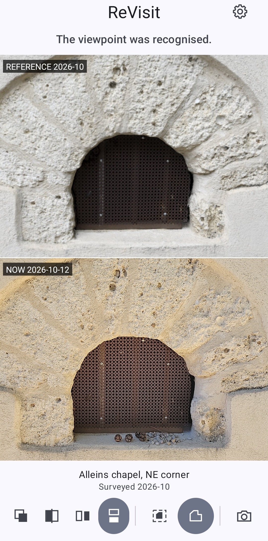
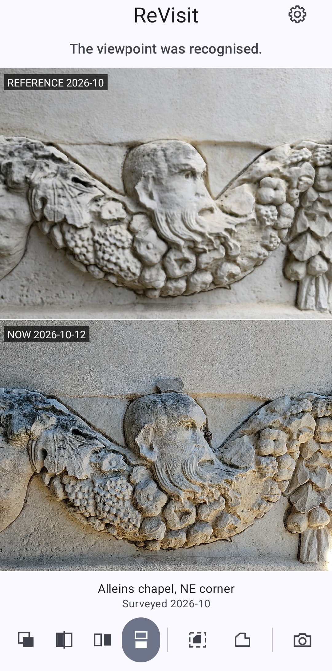
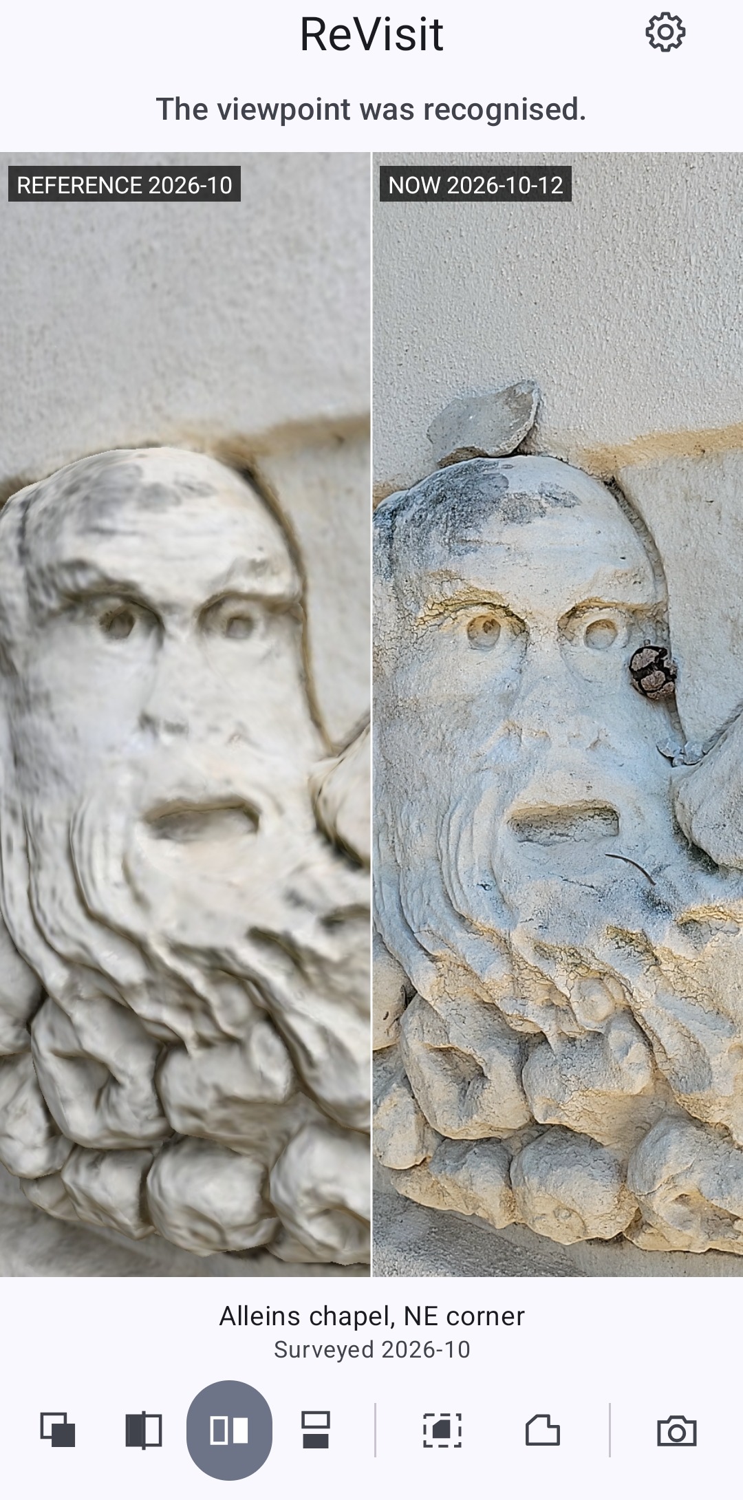
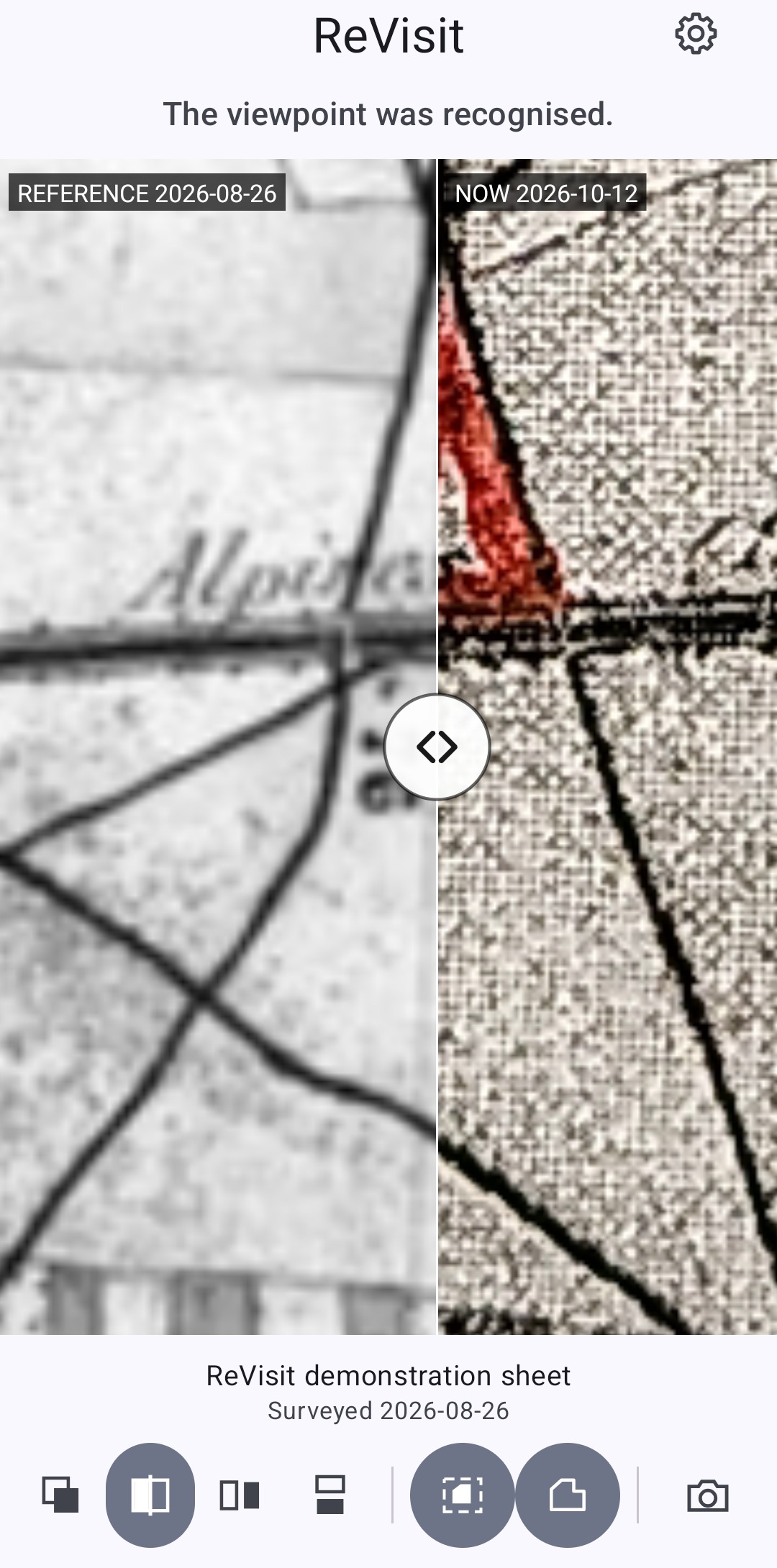
One application, protected sites
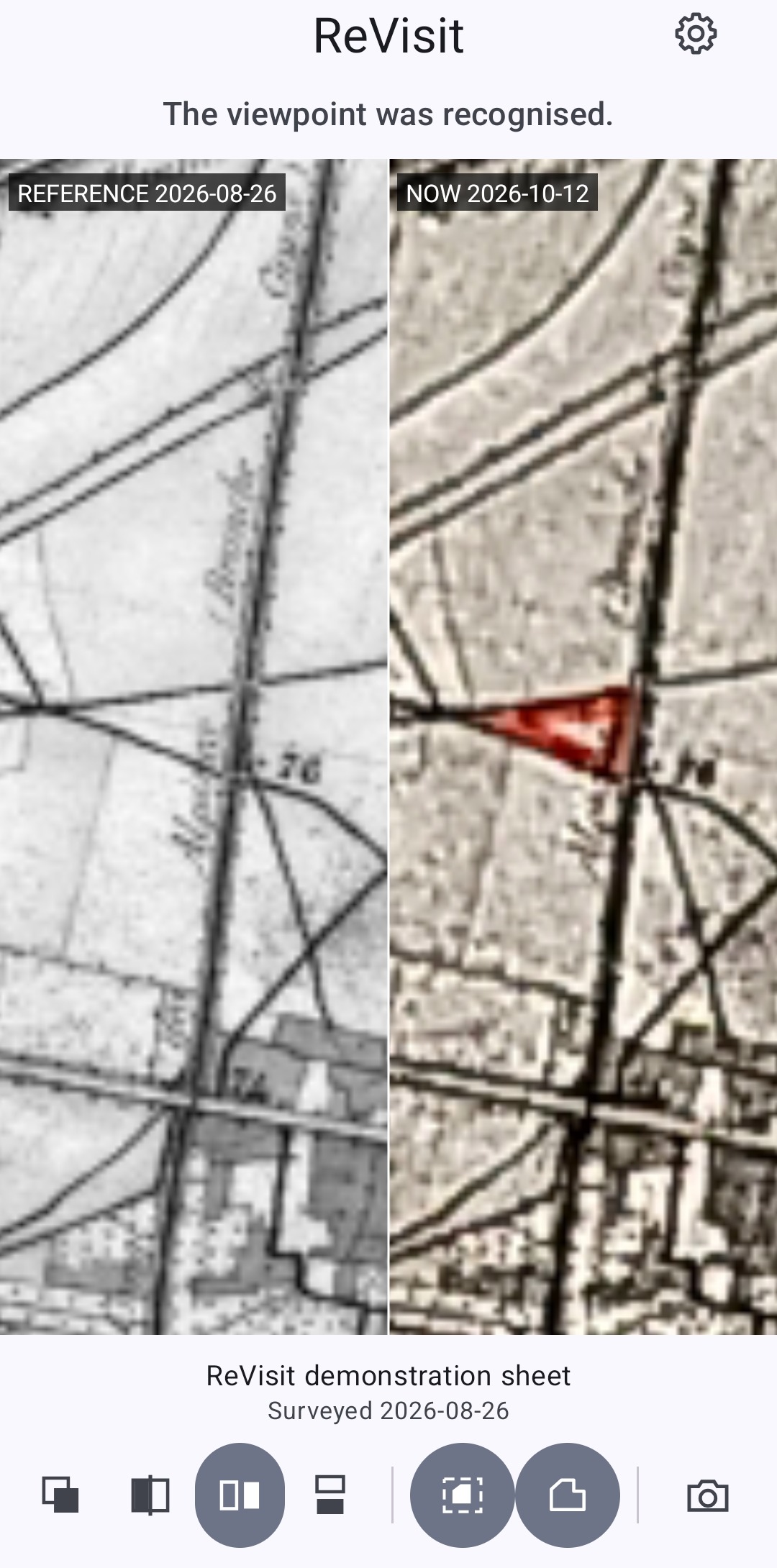
ReVisit is a generic engine, the same for every site: relocalization, virtual camera, comparison interface, with a demonstration site. It runs on Android and iOS phones, with a desktop version for Windows (macOS on request). Each studied site is a distinct data package, the digital twin and its indexes, downloaded into the application with an access code handed to its holder. Once the package is loaded, everything works offline.
This architecture protects the sites: no monument and no survey data is built into the application. Only the holder of the code accesses their site, and can withdraw it at any time.
What the tool does not claim to do
The system does not detect changes and produces no automatic diagnosis. This choice is deliberate. Built-heritage corpora are too diverse for reliable automatic detection: heterogeneous materials, changing natural light, vegetation, patina. A machine claiming to spot evolutions on its own would produce false alarms and omissions.
The tool confines itself to what it does rigorously: guaranteeing that the two images are taken from the same viewpoint. The judgement belongs to the specialist. It is the position of an instrument, not of an oracle.
Who it can serve
- Building archaeology: monitoring of facings, masonries and weakened zones between two campaigns; documentation of interventions.
- Conservation and restoration: surveillance of surface alterations, spalling, structural disorders; quick comparative condition report, without a new survey campaign.
- Civil engineering and structures: periodic visual inspection of piers, vaults and retaining walls, with immediate return to the state of reference.
- Caves and confined sites: return to the exact viewpoint in environments where every measurement is costly.
Beyond the comparison (optional)
The same relocalization opens a second possibility: overlaying on the phone view any data recorded on the digital twin. A stone-by-stone survey, stratigraphic units and their Harris matrix, campaign annotations, a thermography: every document produced by specialists can be put back in place, exactly, in front of the building. The application adds no interpretation; it restores in the field what the experts themselves documented. This optional extension will be developed with the partners of the pilot sites, according to their own practices.
What it takes to start
- A survey of the site, existing or to be carried out. image4D can take it on or rely on a survey provided.
- An ordinary Android or iOS phone for consultation on site.
- A domain contact to define the zones to monitor and assess the real usefulness of the image pairs.